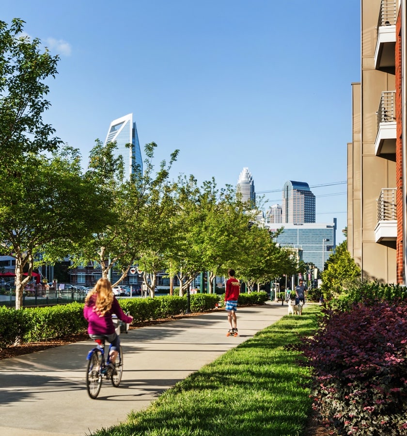
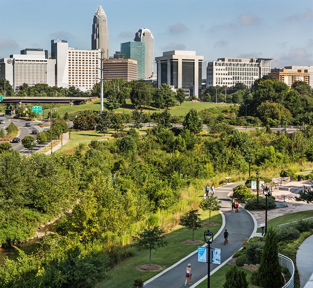
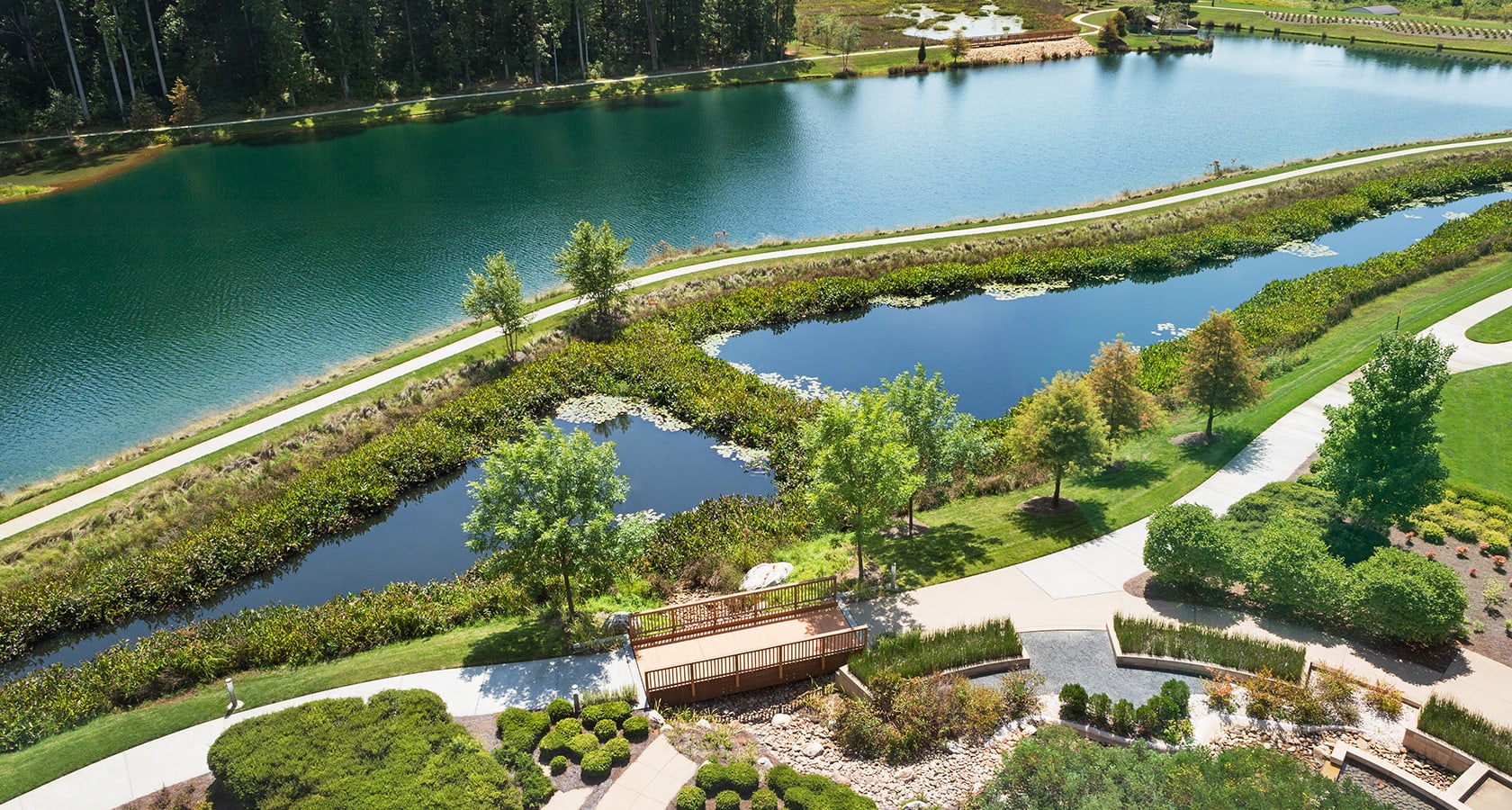
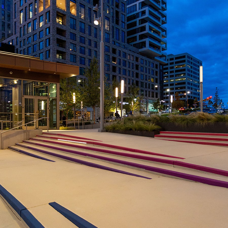
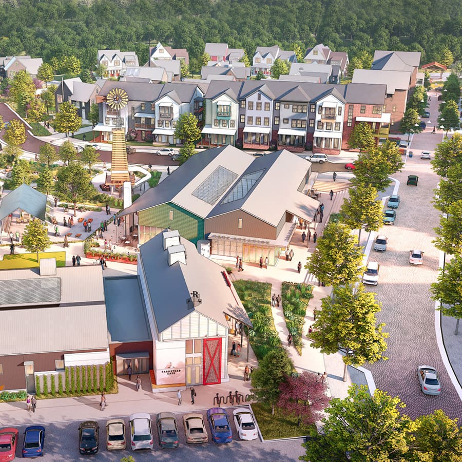
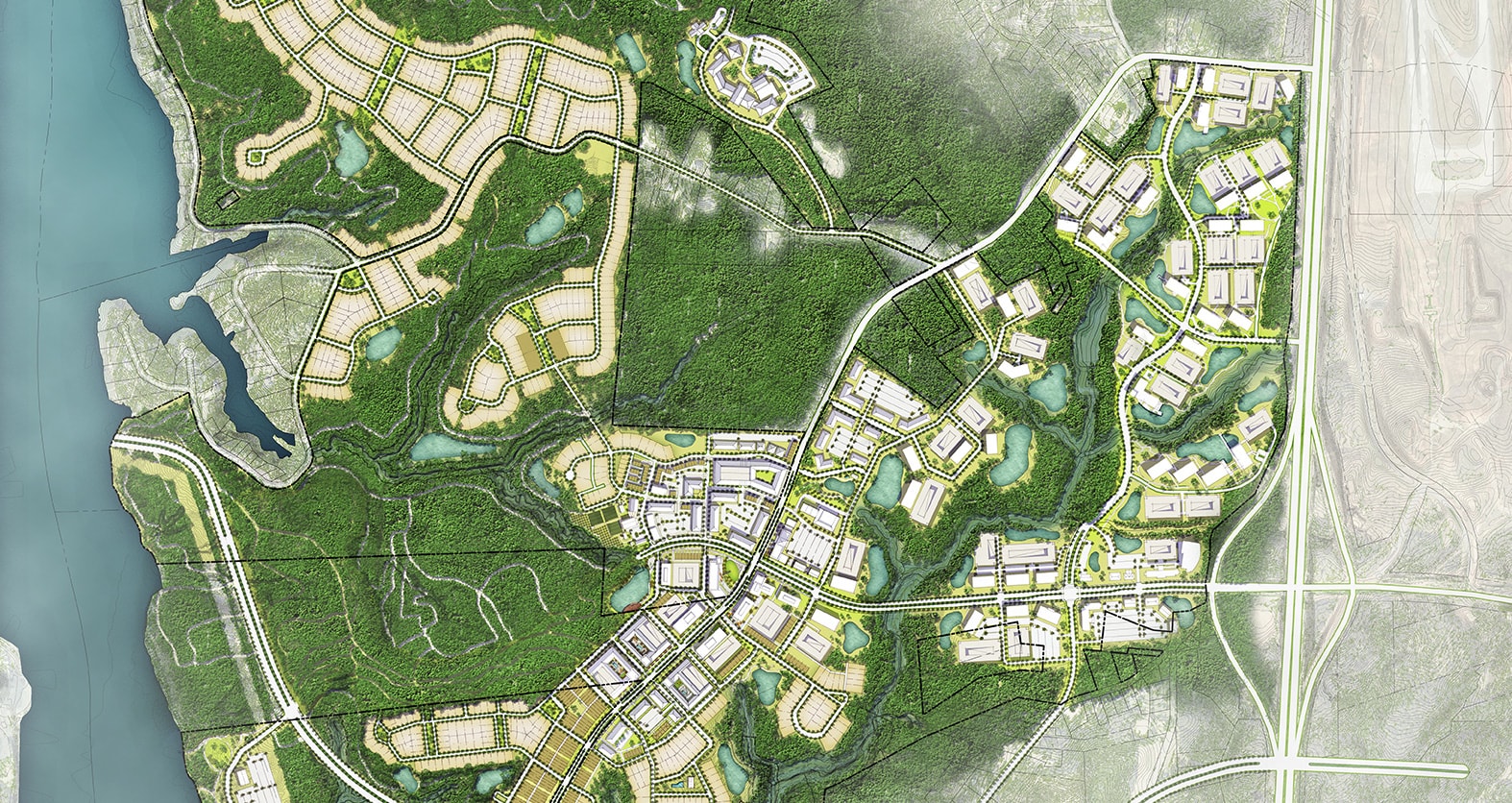
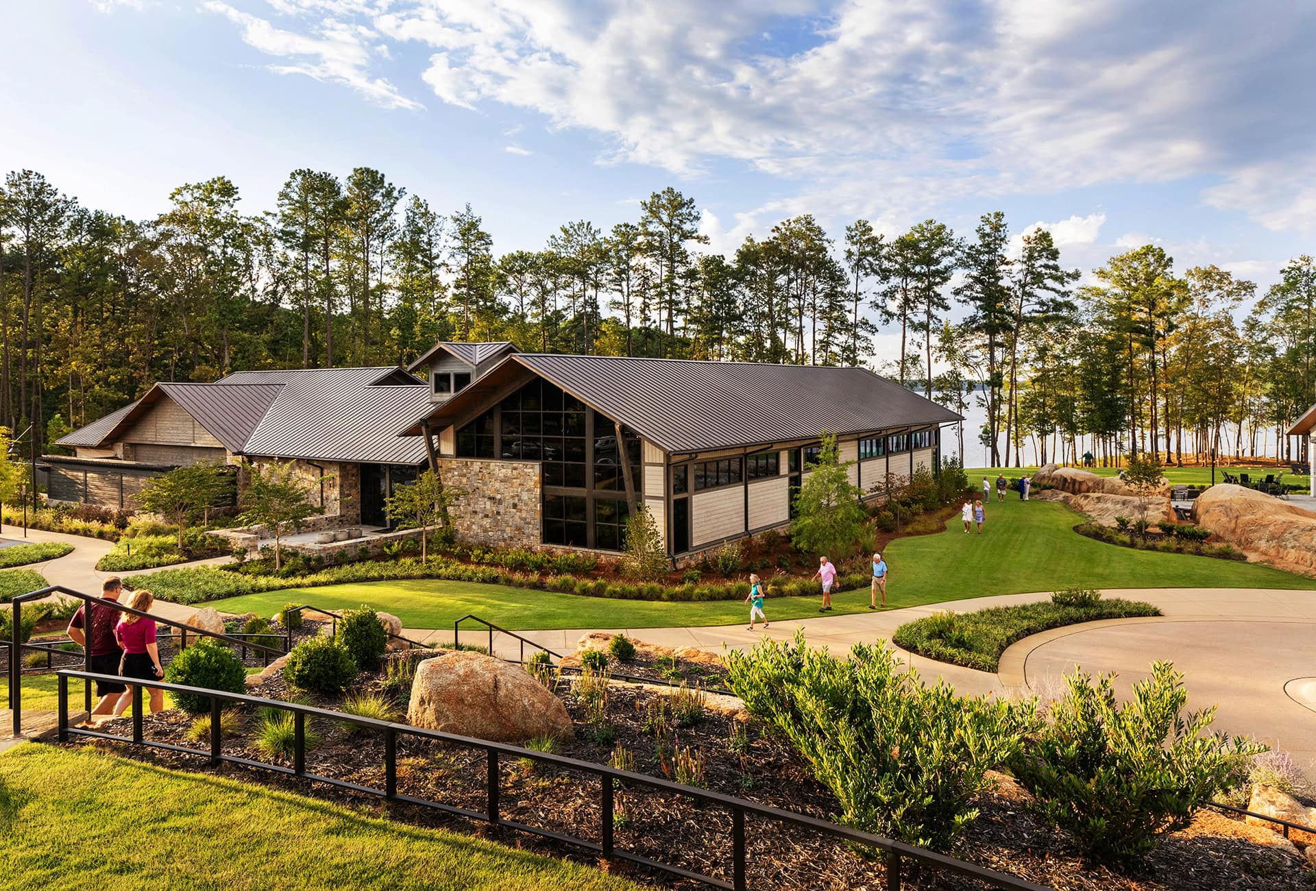
CREATING PLACES THAT
We’re a collection of visionaries and problem solvers who believe in the power of balance, combining creativity and practicality to design what we know will thrive.
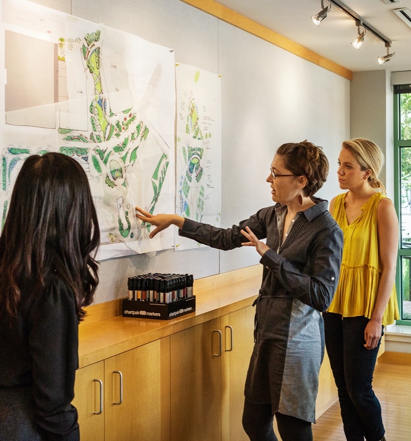
Our Methodology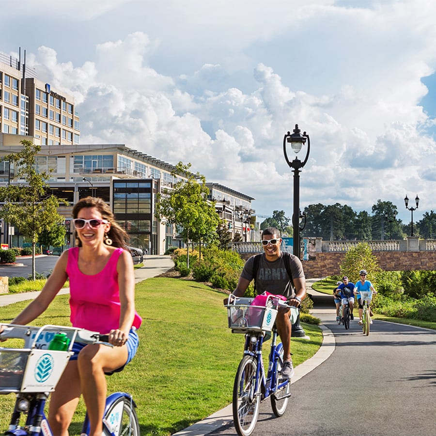


Careers
World-class in work (and play)
We’re led by experience, driven by curiosity, and passionately committed to the notion that good ideas can come from anywhere. We’re also very serious about having fun.
Explore OpportunitiesNews + Insights
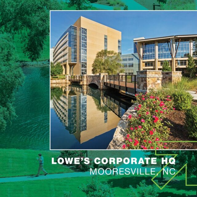
We've Been Thinking
The world is changing fast, and we’re working hard to be drivers of it. Check out our latest projects, ideas, and insights to see how.
What's New